1. Couldn't load AI content — try another language or refresh
Showing information forSouth Fulton·Georgia·United Statesauto-detected
📱 Get the app
CAPlarge airport

Cap Haitien International Airport

Routes out
3
Destinations
2
ICAO
MTCH
Elevation
10 ft
The gateway in a glance

The Essence of Cap Haitien International Airport

CAP
Location
Cap Haitien · ND · Haiti
Connectivity
3 routes · 2 destinations
Position
19.726°, -72.201° · 10 ft elev.
Visa & Entry
Official visa, passport and entry information for Haiti is published by its government, Mi
AI Travel Editor

A closer look

Living guide content for Cap Haitien International Airport — read or listen in 46+ languages.

Language
TravelerPulse profile

Haiti's northern gateway serving Cap Haitien and surrounding regions.

Location
Cap Haitien, Haiti
Cap Haitien International Airport (IATA: CAP, ICAO: MTCH) is the second-largest airport in Haiti, serving the country's second-largest city on the northern coast. It provides an important alternative entry point to the more congested Toussaint Louverture International Airport in Port-au-Prince. The airport has historically served regional and international charter flights, connecting Cap Haitien to destinations in the United States, the Dominican Republic, and other Caribbean nations. It plays a significant economic role for the northern region of Haiti, supporting tourism to nearby historic sites such as the Citadelle Laferrière and Sans-Souci Palace. Infrastructure at the airport is modest, with limited facilities reflecting Haiti's broader development challenges. Expansion and modernization efforts have been discussed over the years to accommodate growing demand and improve safety standards.
Terminals
The airport operates a single terminal building with limited passenger facilities.
Getting to & from
Ground transport into Cap Haitien city center is primarily via taxi and tap-tap (shared minibus), with no formal bus or rail service.
Airlines here
Airlines serving CAP have included American Eagle, Sunrise Airways, and various regional Caribbean carriers.
Notable facts
  • ›Located approximately 3 km from the city center of Cap Haitien.
  • ›Serves as a gateway to UNESCO World Heritage Sites including the Citadelle Laferrière.
  • ›The airport has a single runway oriented roughly east-west.
  • ›It is the second busiest airport in Haiti after Port-au-Prince.
  • ›The airport has faced operational disruptions related to Haiti's political instability.
This profile is provided for general information only. Details may be inaccurate or outdated — always verify with the airport's official website before acting on them.

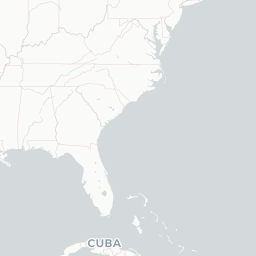
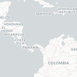
Route map (2 destinations)

Leaflet © OpenStreetMap © CARTO

Routes

CAP → PLSJY · BE9
CAP → PAPS6 · J32
CAP → PLSS6 · J32
Hotels near CAP

Pick what matters for your layover or early flight, then compare on your favorite booking site.

Compare stays for your dates

TravelerPulse may receive compensation when you book or purchase through some of the links on this page, at no additional cost to you. Prices and availability are set by the booking provider and may change. We never share your private trip details with partners — only the destination, dates and party size you searched.

City & Place Guide

No guide exists for this place yet — Click to generate a Traveler Pulse guide.

Passport, Visa & Immigration

Flying internationally via CAP? Check entry, transit and customs requirements for Haiti from official government sources.

Latest news

About on Wikipedia

Cap-Haïtien International Airport

Airport in Haiti

Cap-Haïtien International Airport is a minor international airport serving Cap-Haïtien, a city in Nord, Haiti. It is the second largest airport in Haiti. This airport connects Haiti to airports like Miami International Airport, Providenciales International Airport, Cibao International Airport, and…

Read on Wikipedia

Text from Wikipedia, licensed under CC BY-SA. May be out of date — verify important details.

My Social Pulse
Get the My Social Pulse app
Scan a QR and it's on your phone in seconds.