Explore
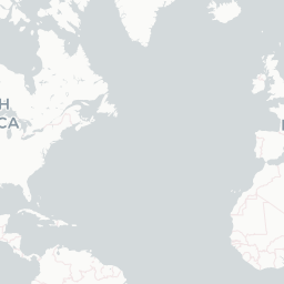
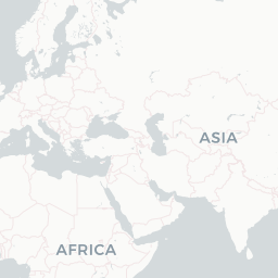
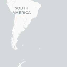
World Airport Map
Every major airport plotted from its real coordinates. Click a marker to open its profile.
1,170 airports plotted




Leaflet © OpenStreetMap © CARTO

About on Wikipedia
Map
Symbolic depiction of spatial relationships
In cartography, a map is a representation or abstraction of geographic reality. Maps are used for a wide range of purposes, including navigation, scientific research, governance, and warfare. A common use is route planning, which enables users to find their way to their destination. Specialized…
Read on WikipediaText from Wikipedia, licensed under CC BY-SA. May be out of date — verify important details.
